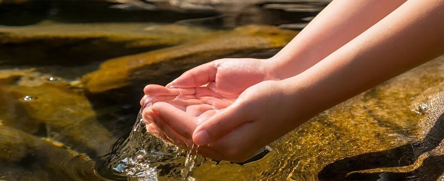
How can you tell if a piece of land has groundwater?
Before using machinery, observing the terrain is a way to pinpoint promising locations. Low-lying areas, those near rivers or streams, or areas with lush green vegetation regardless of the dry season often indicate the presence of groundwater. The direction of surface water flow after heavy rains also reveals aspects of the geological structure and water-bearing fissures.
Many experienced individuals rely on changes in ground temperature or the moisture rising in the early morning to make judgments. These observations are crucial in deciding whether or not to conduct a more in-depth survey.
Manual groundwater detection and dowsing methods
The technique of using twigs or metal rods to probe is still passed down through word of mouth as a quick way to find water sources. In folk tradition, this dowsing method for locating underground water veins requires the person searching to hold a Y-shaped twig or an L-shaped pair of metal rods, moving them slowly over the suspected area and waiting for vibrations from their hands.
This method relies on the body's sensitivity to changes in magnetic fields or moisture emanating from the ground. However, the results depend heavily on the person's intuition, leading to high risks if the terrain is complex or the water vein is too deep.
How far below the surface is the groundwater level, and when is it necessary to use the machine?
A question that many people are interested in is: how far below the surface is groundwater? In reality, shallow water layers may only be a few meters below the surface, but to have a clean and stable water supply, we usually have to look to deeper aquifers.
When manual methods are not safe enough, especially for the need to locate groundwater at depths of 100m or more, specialized equipment from PQWT or Fuji Tecom is the necessary choice. You can find more information at: https://emin.vn/thiet-bi-do-ap-suat-luu-luong-va-muc-thiet-bi-do-dong-chay-may-do-nuoc-ngam-2414/pc.html.
Instead of relying on intuition, these devices use electrical resistance waves to scan through the soil and rock layers, clearly displaying the structure of the water layer on the screen. Using the machine helps you determine the required drilling depth, predict water flow, and avoid water layers contaminated with alum or salt.
For efficient work, please refer to How Groundwater Detectors Work
Important notes before drilling a well
Finding water is only half the battle; sustainable exploitation is the crucial part. You should consult local groundwater maps (if available) to better understand the area's reserves. Additionally, pay attention to the safe distance between the well and any sources of contamination to ensure hygiene.
Maintain equipment after each field trip by cleaning and storing it in a dry place to ensure optimal performance for future use. EMIN is ready to assist you in selecting the most suitable groundwater detector for your specific geological conditions, ensuring successful results for every survey.